Winter storm moves into area
Published 11:00 am Saturday, January 24, 2026
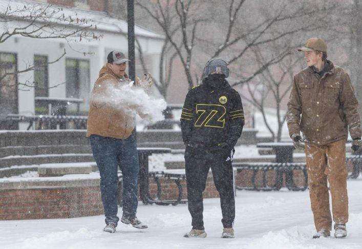

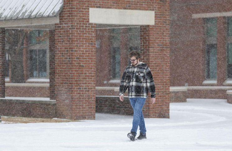
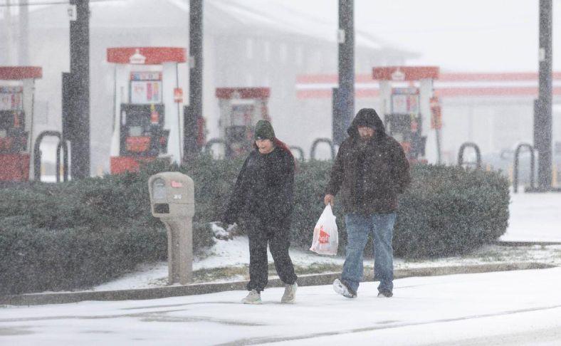


The first snowflakes of what is anticipated to be an impactful winter storm fell before sunrise Saturday morning, and southcentral Kentucky is bracing for accumulations of ice in tandem with the snow.
The latest advisory from the National Weather Service office in Louisville Saturday morning featured forecasts of up to 0.5 inches of ice for parts of the area, which would lead to dangerous driving conditions, tree damage and prolonged power outages.
As of Saturday morning, forecasted snow accumulations in Warren County remain in the range of 4-8 inches, with total ice accumulations rising the further southeast you travel from downtown Bowling Green.
Temperatures at the Bowling Green-Warren County Regional Airport were in the mid-teens Saturday morning, with a reported wind chill of three degrees, according to the National Weather Service.
As the weekend progresses, snow is expected to transition into sleet and freezing rain, with snow showers returning Sunday morning and switching back over to sleet and freezing rain early Sunday afternoon, and snow and sleet continuing Sunday until the precipitation moves out of the area.
The winter storm warning from the NWS will remain in effect until 6 a.m. Monday
Warren County Emergency Management was closely observing the storm system, staying in contact with allied agencies in Bowling Green and Warren County and watching snow blanket the area in real time.
“We are at this point in a monitoring phase, we’re standing by for resource requests,” deputy emergency management director Kevin Bailey said Saturday morning. “Tomorrow is probably going to be the worst day for travel from what we’ve been told. If for some reason there’s widespread outages, we’ll work with the Red Cross to start setting up shelters.”
Bailey said emergency workers have noticed a deterioration in road conditions in a short span of time Saturday morning, and echoed other safety officials in urging people to stay at home and avoid traveling unless it was absolutely necessary.
Trooper Katan Parker of Kentucky State Police Post 3 said he anticipates troopers to remain busy throughout the weekend monitoring the most well-traveled roads.
“We just went out and did some road checks and the roads are really covered,” Parker said Saturday morning.
For those who are needing to travel, Parker said drivers should adjust their speed limits to the road conditions, allow for more time to brake and keep blankets and other supplies on hand.
Meteorologist Landon Hampton of WxOrNot BG said during a livestream Saturday morning that the impact of the weekend storm will be affected by cold temperatures that are forecast for the next several days.
“Whatever we get is going to be staying around for an extended period,” Hampton said. “We’ll have the opportunity of the next week not getting above freezing.”


Best of Best Winners