Cave Country Trails unveils composite map
Published 7:55 am Wednesday, June 8, 2016
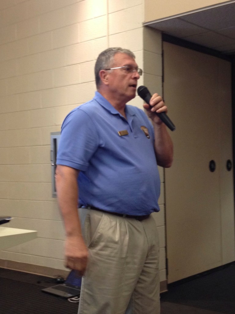
- Russell Clark, a a landscape architect with the National Park Service, explains the process of crafting the provisional map to the event's attendees.
CAVE CITY — After roughly two months of examining community input, Cave Country Trails has released a preliminary plan for its project to form a network of trails connecting Hart, Barren, Warren and Edmonson counties.
The preliminary map was revealed at a forum held at the Cave City Convention Center on Tuesday evening.
Trending
Russell Clark, a landscape architect with the National Park Service who was contracted to work with Cave Country Trails for a year in August, spoke to the crowd at the start of the workshop.
“I feel very confident that what we are beginning to see today is something that this vision will carry on to the next generation,” he said.
The plan was put together based on recommendations received during four earlier workshops held in each of the affected counties, Clark said.
“With the vision in place to create a regional network of trails for all different types of users, we’ll connect communities and make the Mammoth Cave area a more attractive destination and place to live, with emphasis on healthy lifestyles, attracting new businesses and promoting regional economic growth,” he said.
After receiving input from Tuesday’s event, the next step is to determine which parts of the plans are financially and economically feasible, he said.
At the event, four tables were prepared, one for each of the counties affected. The tables bore two maps of each county, one showing the composite plan for that county and the other covered with brightly colored sticky notes that had comments from previous meetings written on them.
Trending
A “county host” was stationed at each table to explain the plan for that county.
Project manager Helen Siewers said she was happy with the turnout, adding that at least 35 people showed up. “A lot of people with a lot of local knowledge are here, which is valuable,” she said.
Copies of a survey asking for feedback on the provisional plan were available at the forum, and Siewers said the survey will be made available on Surveymonkey.com by the end of the week.
CCT is currently seeking funding for the project, Siewers said. She has applied for a $10,000 Rails to Trails Conservancy Grant, which would be used “to buy us more time to do the planning,” but doesn’t yet know if CCT will receive it.
Gerry James, director of the Explore Kentucky Initiative, a nonprofit dedicated to promoting an active lifestyle and Kentucky’s outdoor recreational opportunities, was in attendance.
While he didn’t have any input related to the trails, he said he’s excited to see the progress being made on the project.
He said he’s happy to see such an investment in the state’s trails, adding that outdoor recreation has been a lucrative industry in recent years.
“You can look at the New York Times and see that the outdoors are sexy right now,” he said. “It’s making money.”
Edmonson County resident Frank Hayes, came to the forum, having attended one of the earlier meetings in February, because he’s concerned about the effects the CCT’s plans, if implemented, would have on his business, Hickory Cabins.
His main concern is the need for a trail to connect a mountain bike trail and a multi-use trail on opposite sides of the Green River.
“In order to get any hiking or biking from the north to the south, there needs to be something there,” Hayes said, pointing to an area on the map where the Green River Ferry operates.
“The only solution is to put a path over the river there,” he said, adding that a ferry wouldn’t cut it for mountain bikers trying to cross the river.
Overall, Hayes said he’s happy with the plan CCT presented because it addresses this need.
“It basically covers my thoughts from the beginning,” he said.
— Follow Daily News reporter Jackson French on Twitter @Jackson_French or visit bgdailynews.com.